

New Delhi: Delhi’s newly opened Barapullah Phase III elevated corridor has come under scrutiny after severe traffic congestion spread across several major roads in the Capital within days of its opening. Aerial inspections by Delhi Traffic Police have identified sharp merging points and a mismatch between incoming traffic lanes and the capacity of the existing corridor.
The 3.5-km Phase III section connects Mayur Vihar Phase I with the existing Barapullah network near Sarai Kale Khan. It was inaugurated on September 29 and opened to commuters on September 30 as part of a wider plan to improve connectivity between east Delhi and south Delhi.
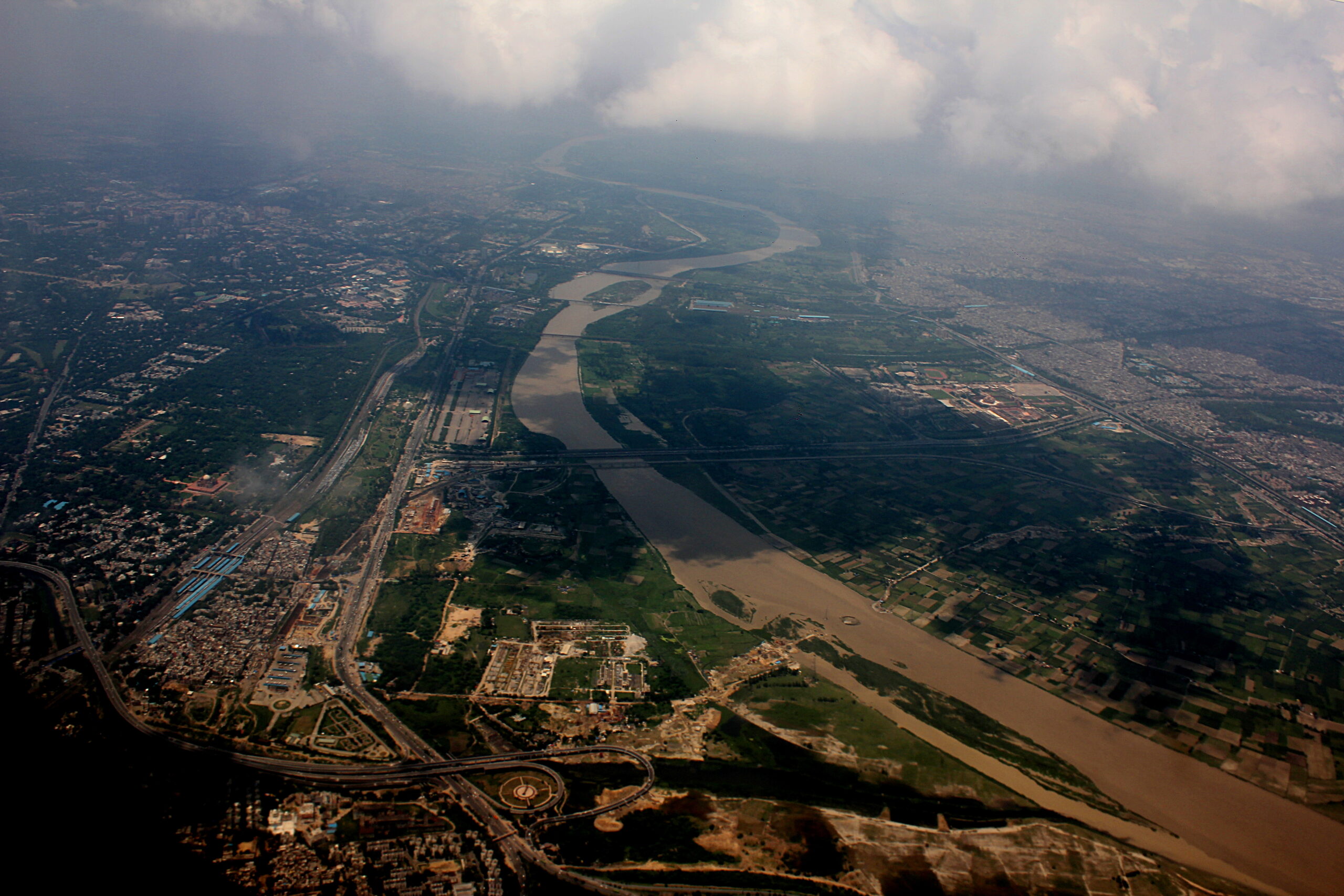
Delhi’s road network around the Barapullah corridor. Photo: Sunnya343 / Wikimedia Commons, CC BY-SA 4.0.
Why is Barapullah Phase III facing jams?
Traffic police found that large volumes of traffic are being funnelled into points where several lanes converge into fewer lanes. At the Sundial Park loop near Sarai Kale Khan, traffic from the new Phase III spur meets traffic from the existing Barapullah corridor through a sharp, rectangular merge.
Hindustan Times reported that two three-lane streams can effectively converge into a three-lane section, while another connection has a lane ending at an angle close to 90 degrees. Times of India separately reported that traffic from approximately six lanes eventually enters an existing section with only two lanes at one key point. The precise lane configuration varies between individual merge points, but both reports identify a capacity mismatch and abrupt geometry as major contributors to the bottleneck.
Traffic spread well beyond the flyover
The congestion has not been limited to Barapullah itself. Reports have described spillover onto the Ring Road, Outer Ring Road, Mathura Road, the DND Flyway, Bhairon Marg and roads around Ashram and south Delhi.
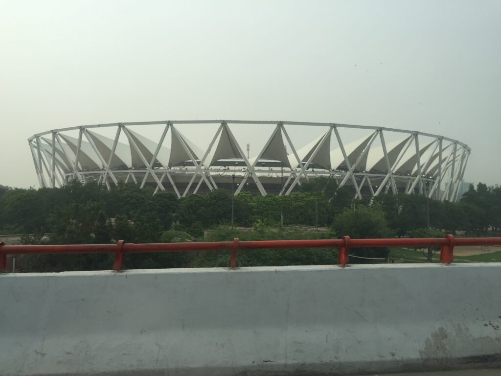
Hindustan Times reported that, on Thursday evening, an approximately 8-km journey between Safdarjung Hospital and Sarai Kale Khan was taking more than an hour according to Google Maps, while other stretches in south Delhi were also showing substantial delays. The Indian Express reported that at least four ambulances were caught in the congestion near Jawaharlal Nehru Stadium while travelling towards Sarai Kale Khan.
Police and PWD examine immediate fixes
Delhi Traffic Police and Public Works Department officials conducted a drone survey after the congestion persisted. Police have proposed physical changes at problematic merging points, including barricades or cones to create a more gradual transition between traffic streams.
Officials are also examining additional traffic-control measures, including the possible use of another signal on the elevated corridor to regulate traffic entering the bottleneck. Traffic police have asked Google Maps to update routing information because the newly opened corridor did not initially have enough live traffic data, potentially directing more vehicles towards the congested route.
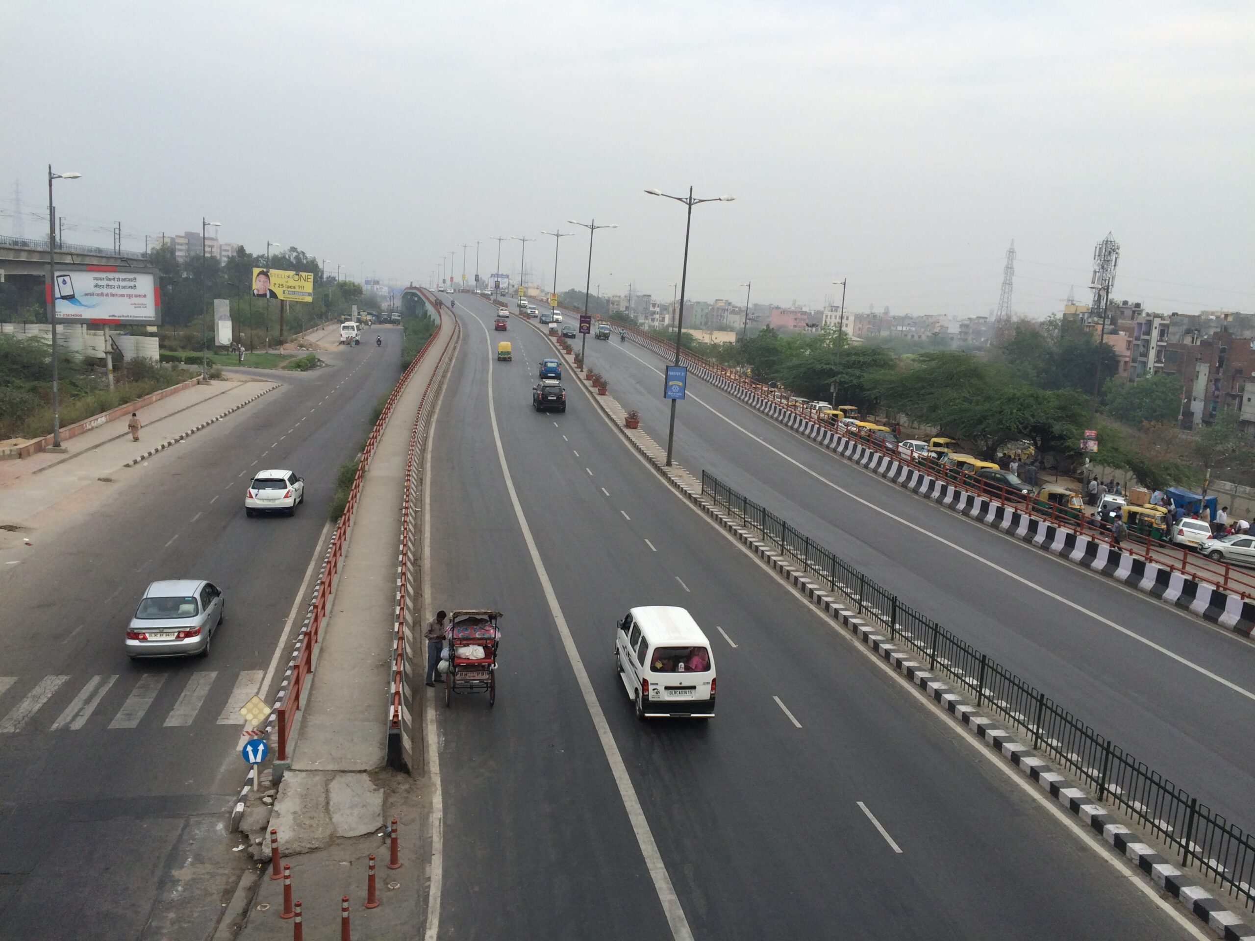
Delhi’s elevated-road network. Photo: Srvkumar09 / Wikimedia Commons, CC BY-SA 4.0.
Experts point to road geometry and lane management
Traffic engineering experts cited by Hindustan Times said that abruptly merging multiple lanes into fewer lanes is likely to create bottlenecks when traffic volumes are high. They recommended clearer lane markings, better treatment of gore areas, improved signage and a more gradual reduction in lane capacity.
Other suggested short-term measures include lane balancing, speed control and staggered merging. These measures are intended to prevent drivers from encountering a sudden narrowing of the carriageway and to reduce conflicts between vehicles entering from different directions.
A project designed for a different traffic environment
The Phase III project was approved in 2014 and construction began in 2015. It was initially scheduled for completion in 2017, but repeated delays pushed its opening to 2026 and increased the project’s cost. Hindustan Times reported that the original planning studies were more than two decades old and may not have anticipated current traffic volumes in east Delhi, Noida and Ghaziabad.
The wider Barapullah corridor was intended to provide a signal-free connection between eastern and southern parts of Delhi and reduce pressure on routes such as the DND Flyway, NH-24 and the Ring Road. The new Phase III link was expected to provide an alternative route for commuters travelling between Noida, Ghaziabad and south Delhi.
What happens next?
For now, traffic authorities are relying on traffic personnel, temporary channelisation, possible diversions and changes to navigation-app routing while the agencies assess longer-term solutions. The immediate focus is on reducing pressure at the major merge points rather than rebuilding the corridor.
The experience of the first days after opening has also prompted a wider discussion about whether a road project designed years earlier can accommodate present-day traffic patterns. Further changes will depend on traffic data collected after the corridor settles into regular use and on decisions by Delhi Traffic Police and the PWD.
Sources
- Hindustan Times: Design flaws behind Barapullah Phase III traffic chaos
- Hindustan Times: How the decade-long delay changed the traffic problem
- The Indian Express: Barapullah Phase III jam continues into Day 2
- Times of India: 90-degree turn and lane-capacity bottleneck
- The New Indian Express: Traffic police review Barapullah congestion
Last updated: October 2, 2026.