In a move set to transform road‑safety enforcement, Chandigarh authorities have introduced a geo‑tagged mobile application that lets citizens capture and report speeding vehicles with a single snap. The initiative, detailed in a recent Indian Express report, aims to harness the power of crowdsourcing to curb reckless driving, reduce accidents, and streamline the workflow of traffic police. By integrating real‑time location data and photographic evidence, the app promises faster response times, higher conviction rates, and a more participatory approach to public safety. This article explores the app’s functionality, its impact on enforcement, the challenges it faces, and the broader implications for Indian cities.
The new geo‑tagged reporting tool
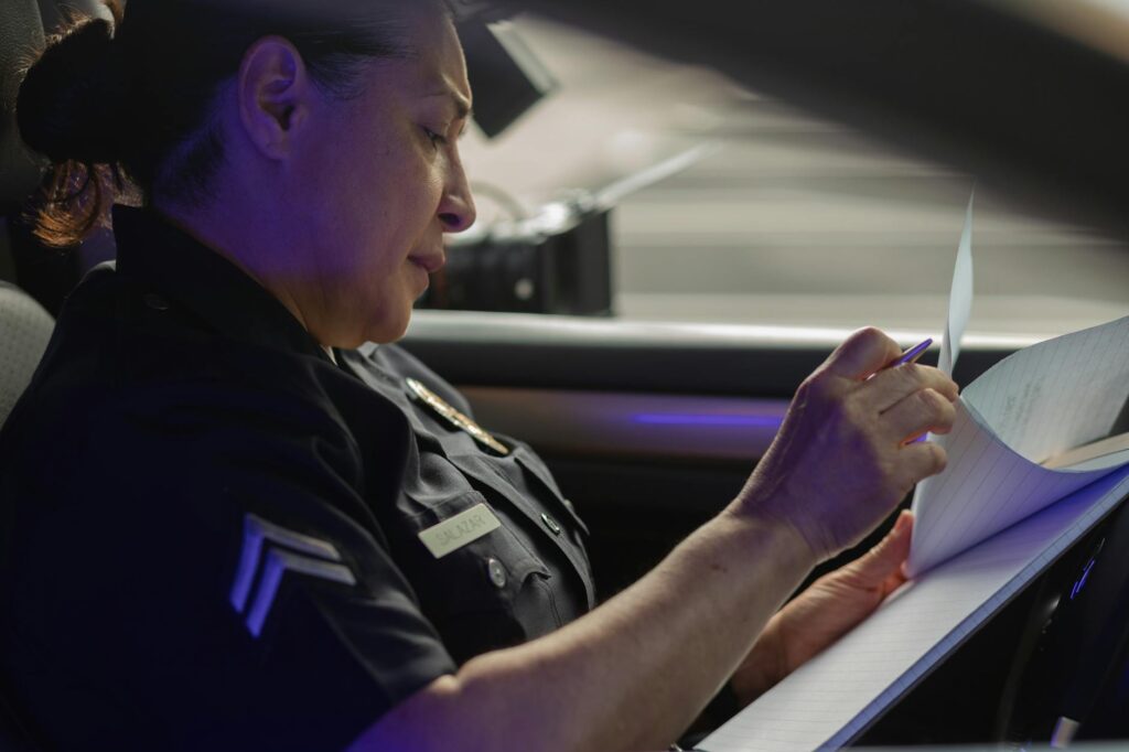
The application, named SpeedSnap, is built on a lightweight Android platform and leverages the phone’s GPS to automatically attach latitude, longitude, and timestamp to every photo taken of a violating vehicle. Users simply open the app, point the camera at the offending car, and submit the image with a single tap. The backend system routes the report to the nearest traffic police outpost, where officers can verify the evidence and issue a notice or fine.
How the app works for everyday commuters
For the average commuter, the process is intentionally frictionless:
- Capture: Snap a clear image of the license plate and the vehicle’s speed‑related behavior.
- Auto‑tag: The app records the exact location and time, eliminating manual entry errors.
- Submit: A single button sends the report to the traffic control centre.
- Track: Users receive a notification once the case is processed, fostering a sense of contribution.
All data is encrypted during transmission, and the app’s user‑interface is available in both English and Punjabi to maximize accessibility.
Impact on traffic enforcement and road safety
Since its pilot launch in January 2025, the app has recorded a noticeable shift in enforcement metrics. The table below compares key statistics before and after the app’s introduction, using data up to 18 December 2025.
| Metric | Jan–Jun 2025 (pre‑app) | Jul–Dec 2025 (post‑app) |
|---|---|---|
| Overspeeding citations issued | 1,842 | 3,467 |
| Average processing time (hours) | 48 | 12 |
| Citizen reports received | — | 2,915 |
| Accident rate (per 10,000 vehicles) | 7.4 | 5.9 |
These figures suggest that citizen‑driven reporting not only boosts the number of violations caught but also shortens the administrative lag, contributing to a measurable decline in road‑related accidents.
Challenges and privacy concerns
Despite its promise, the platform has sparked debate over data privacy and potential misuse. Critics argue that unrestricted photo capture could lead to harassment or false accusations. To mitigate these risks, the system incorporates several safeguards:
- Anonymous reporting options, with optional user identification for follow‑up.
- Automated image analysis to flag blurred or tampered photos.
- Retention limits: raw images are stored for 30 days before secure deletion.
Legal experts also emphasize the need for clear guidelines under the Information Technology Act to ensure that evidence remains admissible in court while protecting individual rights.
Future outlook and scaling across India
Buoyed by early successes, the Chandigarh municipal corporation plans to integrate the app with a statewide traffic‑management dashboard, enabling real‑time heat‑maps of high‑risk zones. Discussions are underway with neighboring states such as Punjab and Haryana to adopt a unified framework, potentially creating a national network of citizen‑powered traffic monitoring.
Long‑term ambitions include adding AI‑driven speed detection, automatic fine generation, and multilingual support for tourists. If these upgrades materialize, the model could become a template for other high‑traffic Indian cities grappling with chronic road‑safety challenges.
Conclusion
Chandigarh’s geo‑tagged traffic‑violation app exemplifies how technology and community participation can converge to strengthen law enforcement and improve public safety. By simplifying the reporting process, delivering instant location data, and accelerating case handling, the platform has already shown tangible gains in citation rates and accident reduction. Nevertheless, safeguarding privacy and ensuring legal robustness remain critical as the initiative expands. If the city can navigate these hurdles, the model holds promise for a broader transformation of road‑safety governance across India.
Image by: Kindel Media
https://www.pexels.com/@kindelmedia